

Map Skills: Using Different Maps Together (1960)
• January 1st, 1960 • 0h 10min
Documentary
Overview
Through animation, maps of the same scale and projection are combined to show relationships between natural features of the earth, human use, and social and political features. Projects different kinds of animated maps of the same scale and explains how the maps are used in gaining an understanding of the relationships between the social, political, and natural features of the earth.
Make sure to check your pop-up blocker!!
Trailer
Similar Movies

Do země ledovců
Released on: 1950-03-31
Documentary
Documentary film about the Czechoslovak natural science group's expedition to Iceland in June 1948.

being queer here
Released on: 2024-05-30
Documentary
A portrait of Toronto, as defined by the spaces its queer residents inhabit and the memories they’ve...
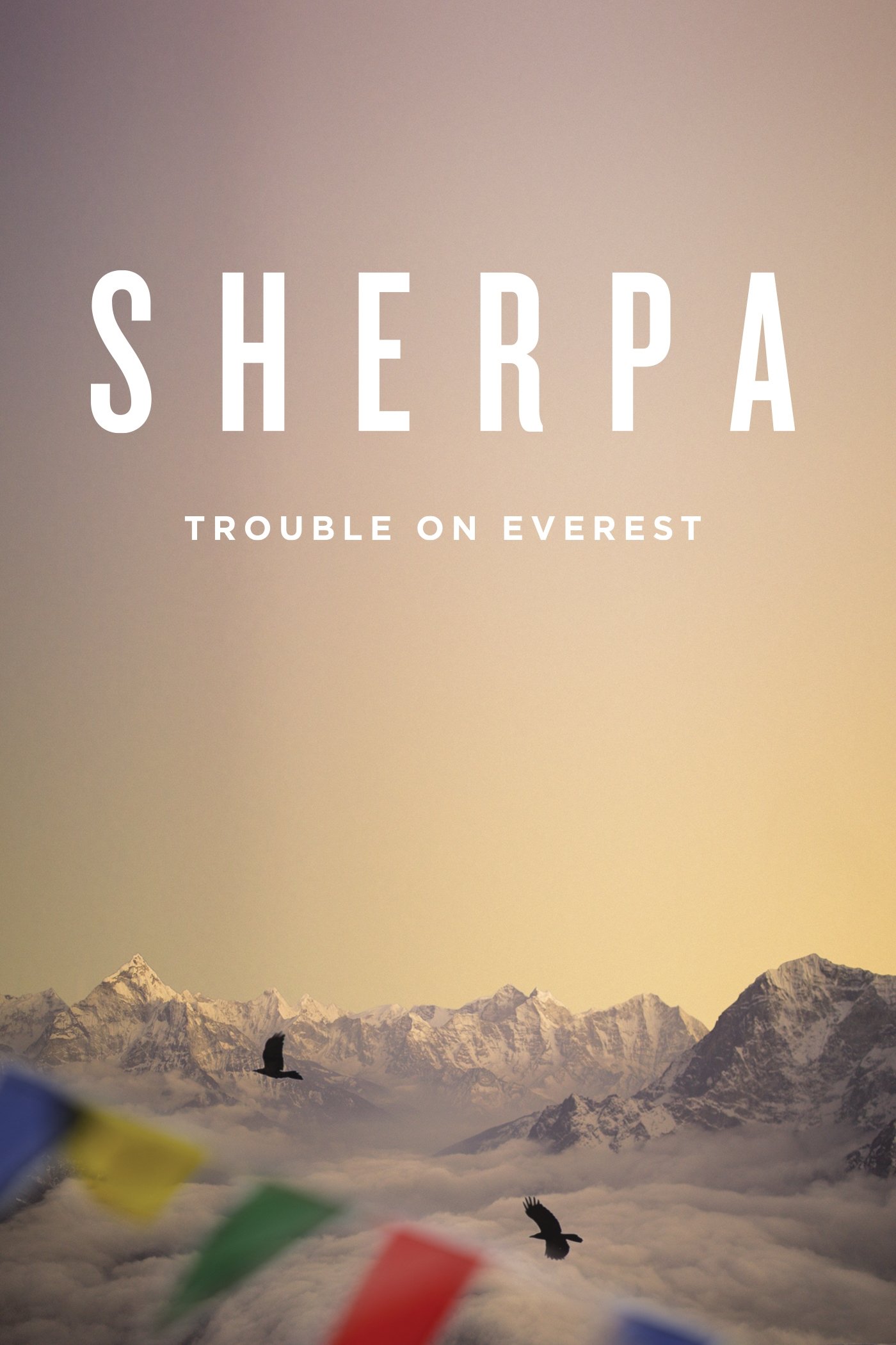
Sherpa
Released on: 2015-10-02
Documentary
In 2013, the world's media reported on a shocking mountain-high brawl as European climbers fled a mo...
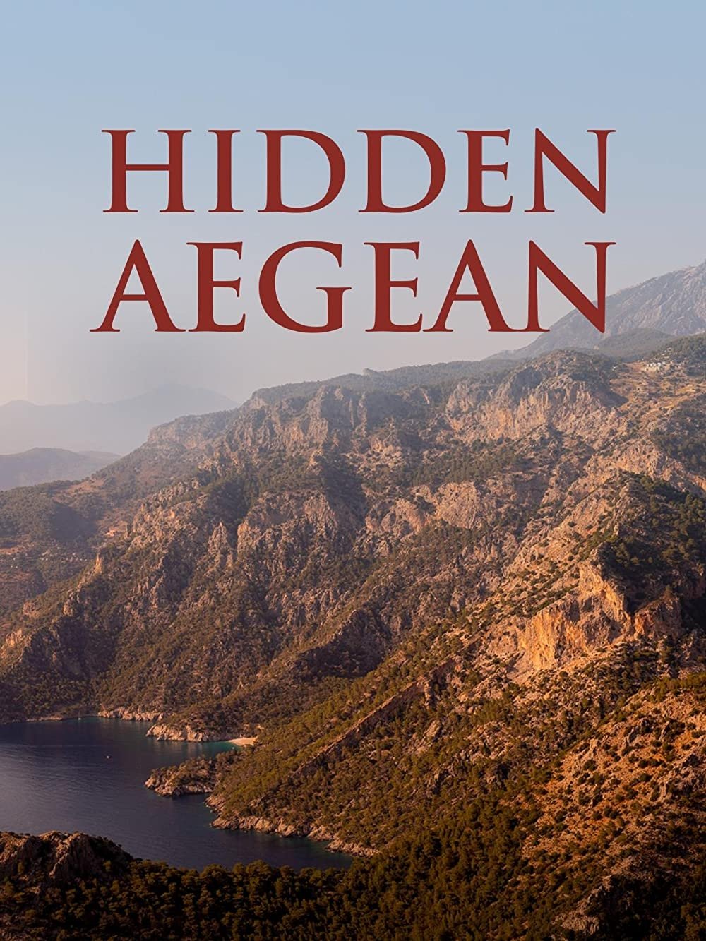
Hidden Aegean
Released on: 2023-04-23
Documentary
Host Peter Greenberg explores the hidden gems of Turkey's Aegean coast. Some of the stunning destina...
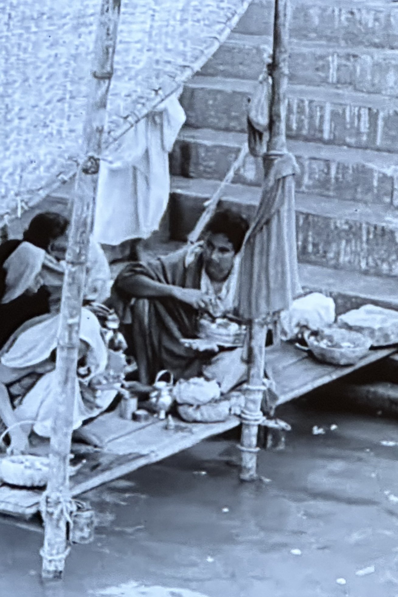
The River of Life and Death
Released on: 1941-04-01
Documentary
The River of Life and Death captures the slow time in the well-known Indian pilgrimage place of Bena...
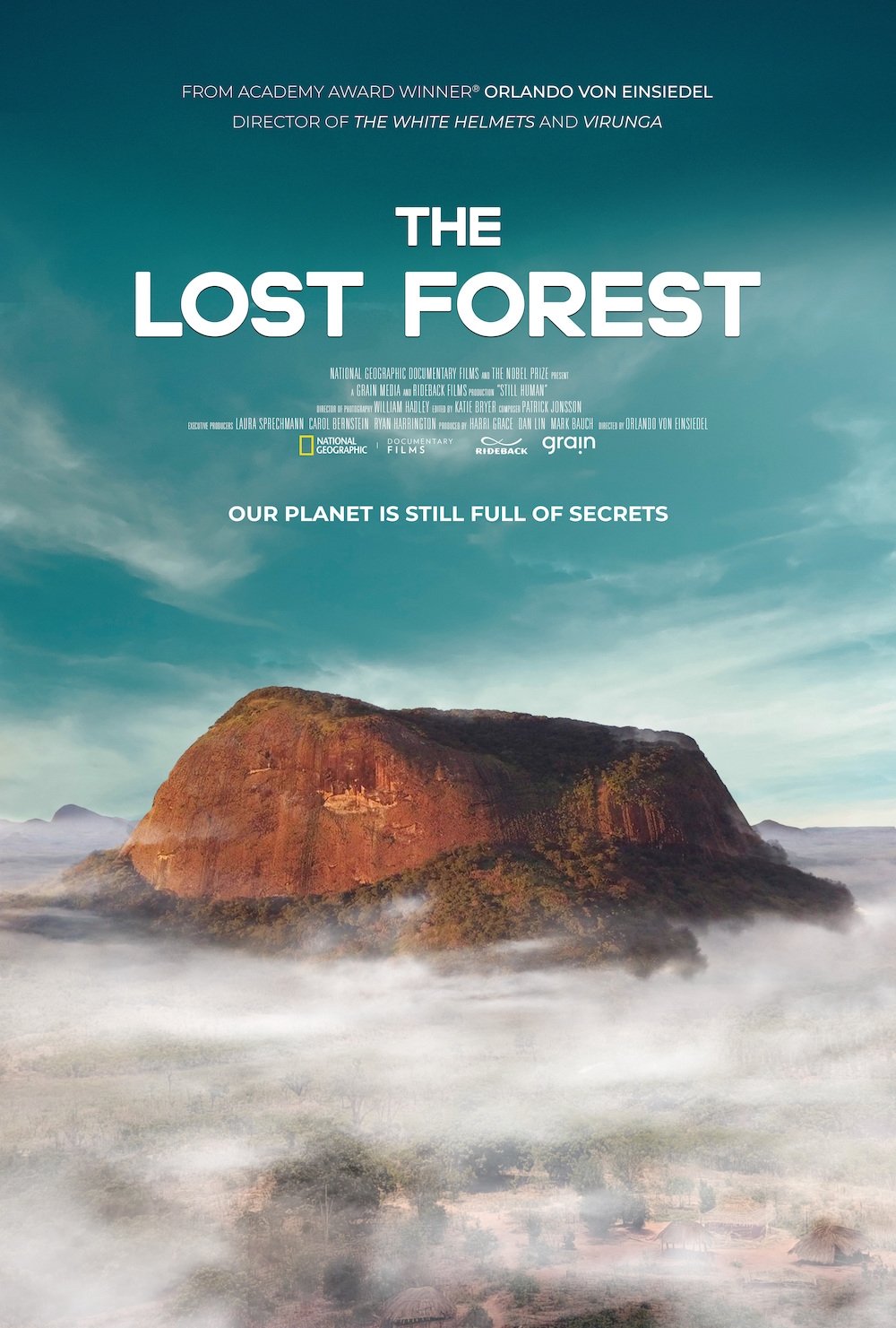
The Lost Forest
Released on: 2020-05-22
Documentary
How would natural habitats develop without human interference? In this documentary we follow an inte...
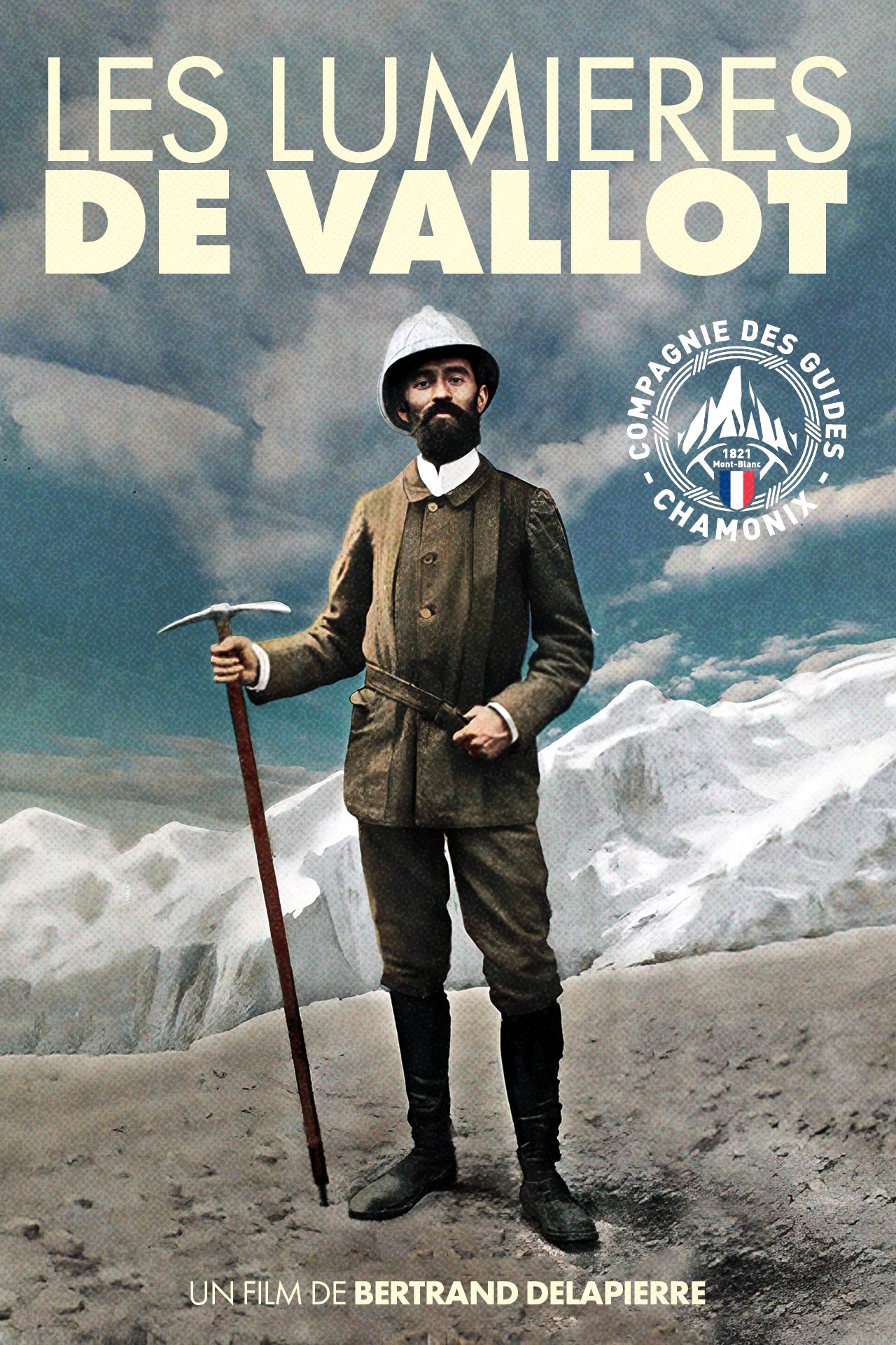
Les Lumières de Vallot
Released on: 2025-08-16
Documentary
Joseph Vallot, geographer, naturalist and mountaineer born in 1854 in Lodève, was a visionary man, f...
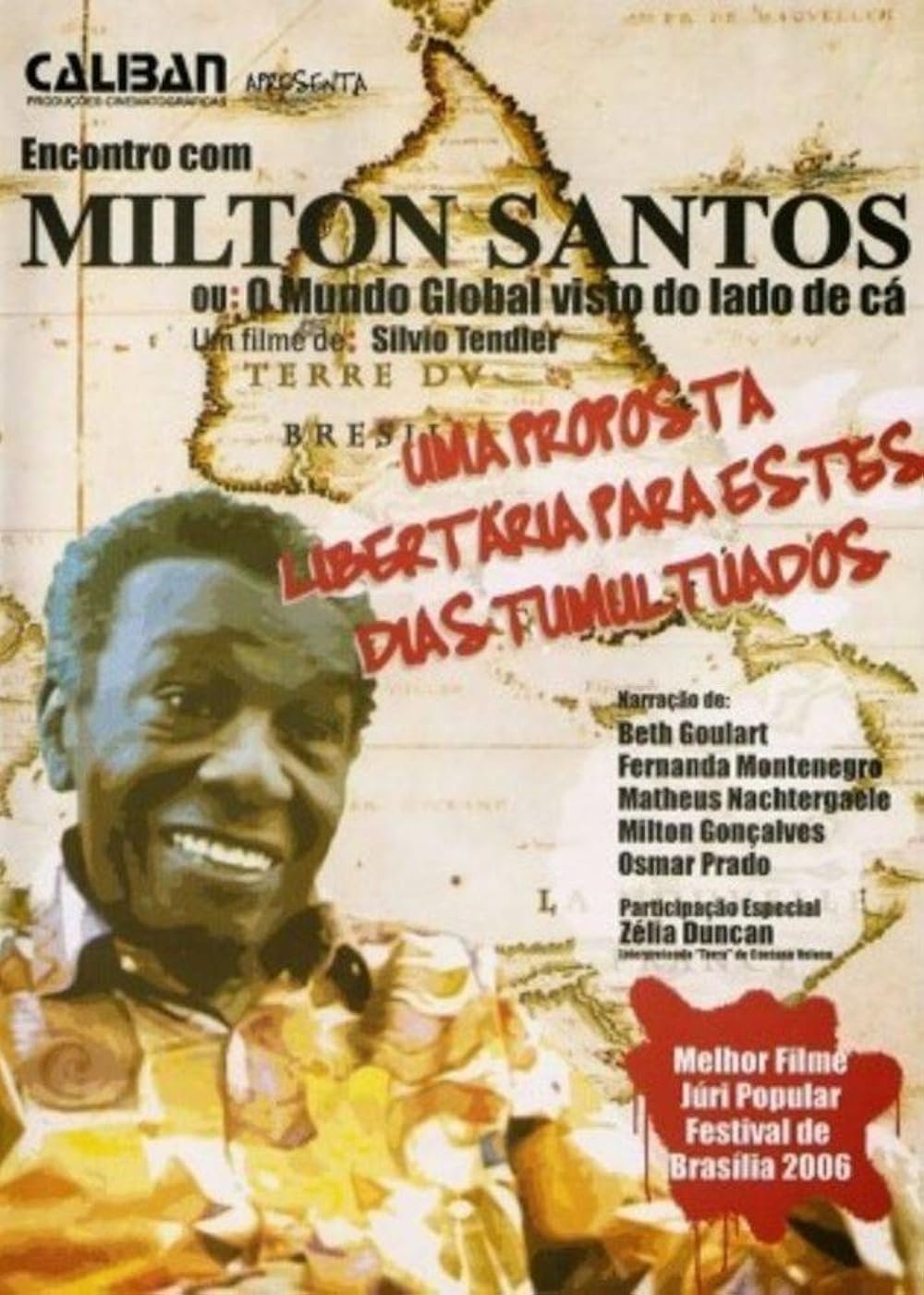
A Meeting with Milton Santos
Released on: 2006-08-17
Documentary
The film deals with the process of globalization based on the thought of geographer Milton Santos, w...
Three Gorges: The Biggest Dam in the World
Released on: 1998-01-01
Documentary
Explores the plans for the construction of the monumental dam on China's Yangtze River, the structur...
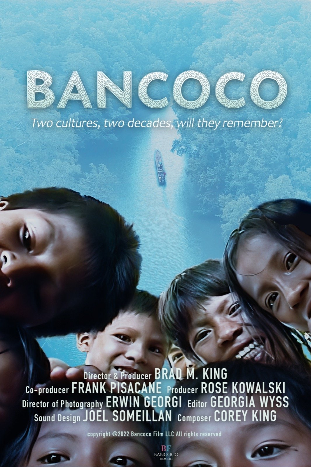
Bancoco
Released on: 2023-05-02
Documentary, Adventure
A New Yorker journeys to the jungle in the Darien Gap of Panama to reconnect with an indigenous trib...
Sambesi - Der donnernde Fluss
Released on: 2010-11-25
Documentary
The Zambezi is one of the world's great rivers, yet apart from the spectacular Victoria Falls, large...
Vietnam from Above
Released on: 2018-03-16
Documentary
Travel across Vietnam on a breathtaking cultural and historical journey. Uncover ancient Chinese inf...
Once ... Agadir
Released on: 1971-01-01
Documentary
This short-length documentary takes us to Agadir, a city in Morocco that was struck by an earthquake...